JOY OF SAILING
Elba | Italy
Sailing saison
The sailing season on Elba begins in spring and ends in fall.
Level of difficulty
The level of difficulty depends on the choice of route around Elba.
Climatic conditions
Mild, temperate Mediterranean climate.
Accessibility
Good flight and boat connections to the rest of Europe and the Italian mainland.
Selection of yachts
Monohulls and catamarans.
Anchoring options
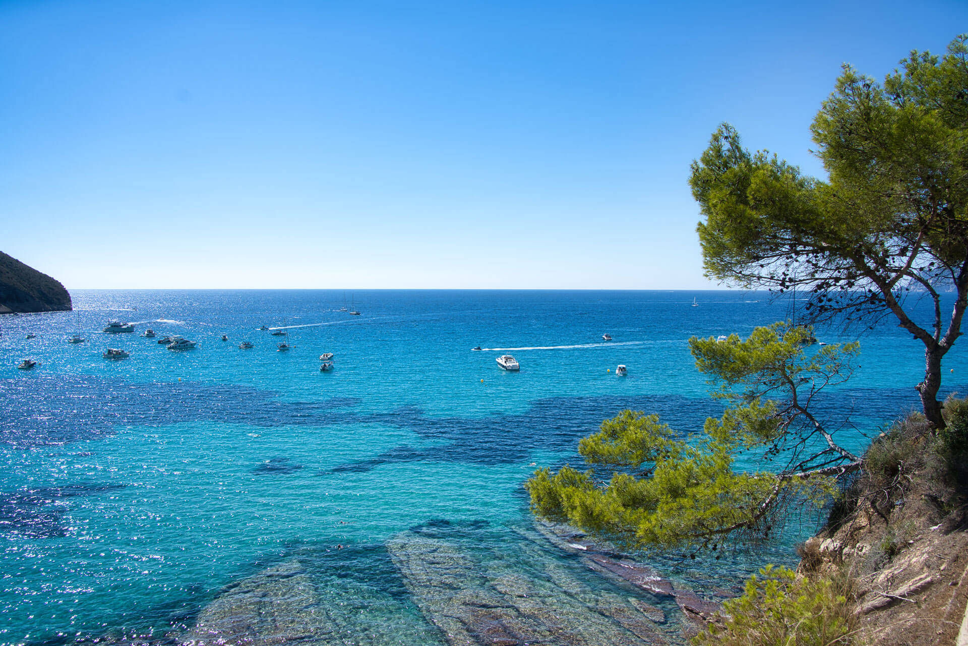
Many sheltered bays for anchoring.
JOY OF SAILING
FIND OUT IF THIS AREA SUITS YOU.

Sailing in italy
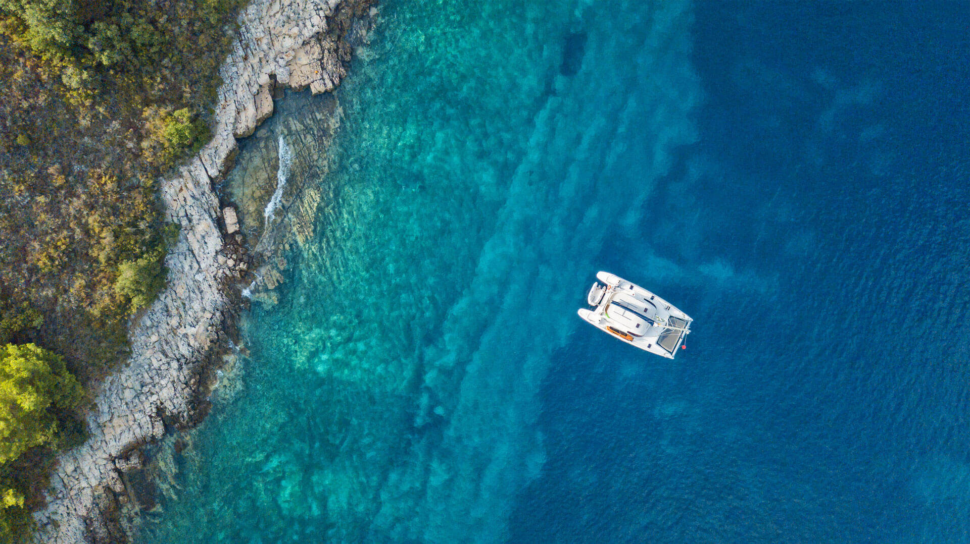
The small island of Elba on the west coast of Italy is a sailing paradise with beautiful bays. Discover this wonderful island on a sailing trip from Elba. Our Sun Charter base is located in the marina of the Edil-Nautica shipyard in Portoferraio on Elba, about 15 minutes' walk from the ferry terminal. Elba is particularly suitable for an individual journey by car. You can park directly at the Sun Charter Pier behind the oleander bushes. There is a well-stocked supermarket nearby. Around Elba, you can enjoy a week of leisurely sailing, swimming, strolling around bays and visiting beautiful island villages. A sailing vacation from Elba offers a lot, numerous cultural assets of old times await you on a yacht charter in this beautiful sailing area. Those interested in history can visit Napoleon's residence in Portoferraio, the port of departure for your charter.
A SELECTION OF YACHTS
Current Elba offers for your unforgettable cruise
JOY OF SAILING
Sign up for our free newsletter and never miss exciting news about Sun Charter again. Stay informed and look forward to exciting and exclusive offers.
Sun Charter is a proud member
of the Nautic Alliance.


